Well, its been 2 years since I last posted!
In that time, the world has turned upside down!
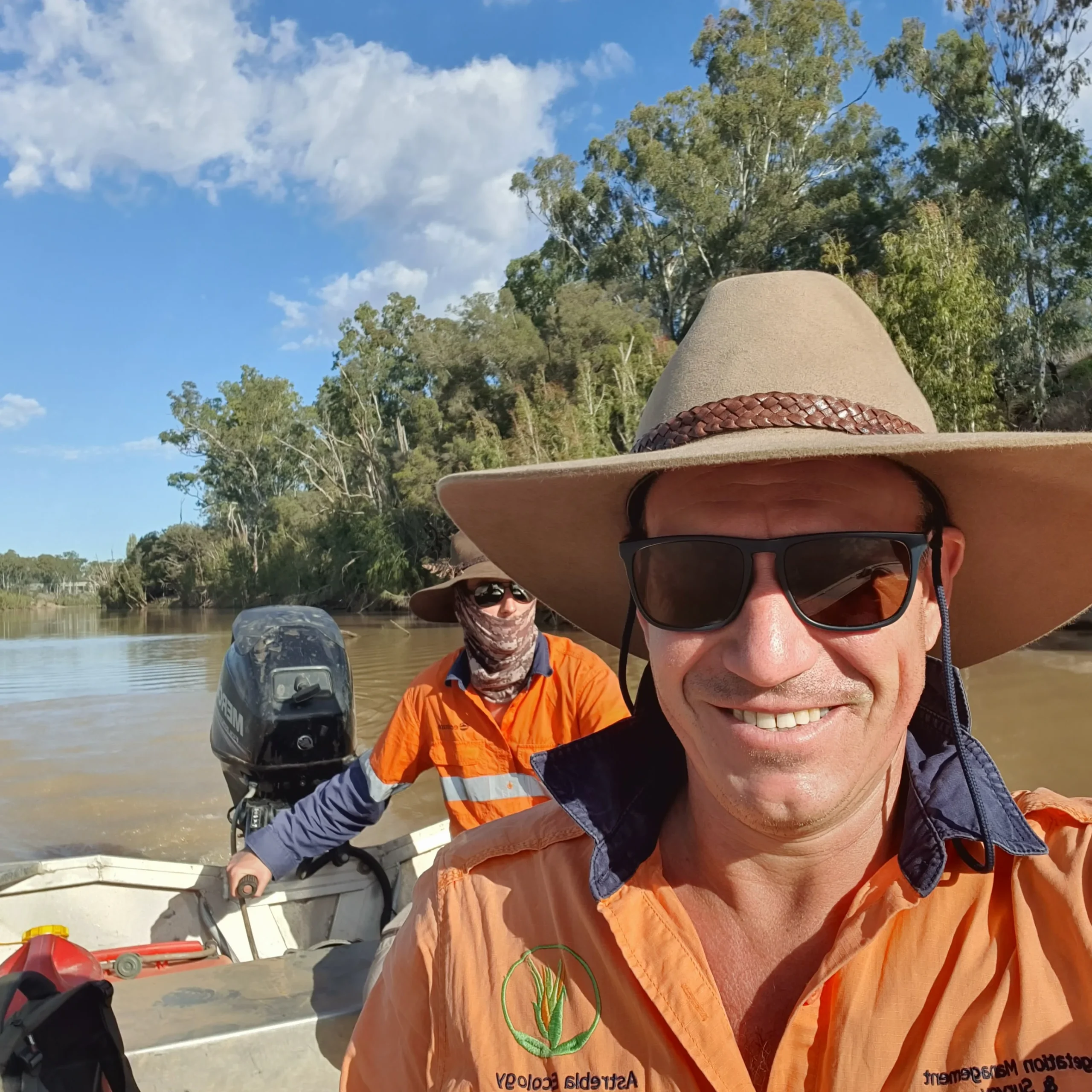
But it has been a busy time at Astrebla, in fact I haven’t stopped. This period has been dominated by water projects – I have been primarily engaged during this period in providing the majority of botanical input to the following four major water infrastructure projects, for GHD and SMEC.
Hells Gates Dam Project – SMEC
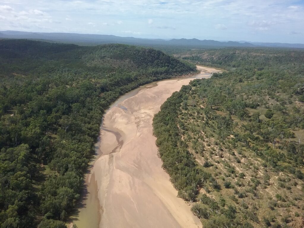
This project is being managed by Townsville Enterprice, with funding form the National Water Infrastructure Development Fund. Astrebla contributed botanical input to the Detailed Business Case for this project, being prepared by SMEC. Hells Gates Dam is a proposed 2110 GL dam on the Burdekin River approximately 110 km north of Charters Towers. It would supply water to 50, 000 ha of irrigated horticultural land and provide long-term water security to Charters Towers and Townsville.
Associated proposals are for a max 1200 MW pumped hydroelectric scheme, a 15 MW run-of-river hydro facility and a 20 MW solar farm (see the Hells Gates Feasibility Study).
The project involves a dam and four irrigation areas for high-value agriculture. The irrigation areas are proposed north of Charters Towers and west of the Burdekin River, primarily on areas of basalt and alluvial soils.
Services provided by Astrebla included a ground-truthed regional ecosystem (RE) map for the entire 270, 000 ha area – the largest ground-truthed RE map I have produced to date! This includes the dam inundation area and the irrigation areas.
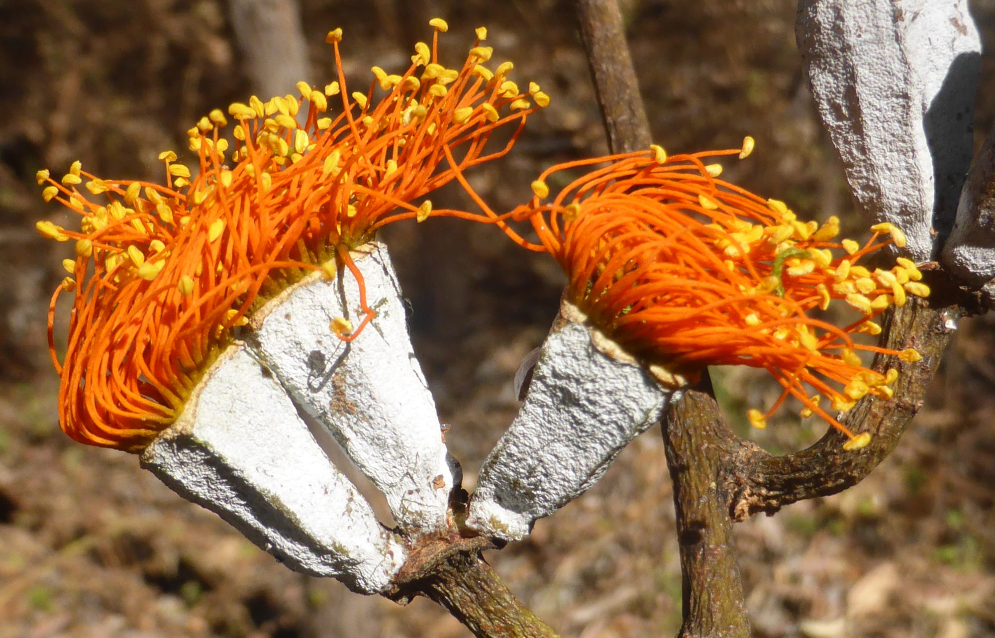
The initial survey involved 13 days of helicopter surveys, followed by 14 days of ground-based surveys. Threatened plant surveys were also undertaken, during which Queensland bluegrass (Dichanthium queenslandicum) was recorded in grassland near the Basalt River – the most northerly reliable record for this species.
In addition, the Townsville botanist Chris Kahler found Acacia guymeri in the vicinity of the inundation area, which is 175 km further south than it had been recorded in north Qld previously.
Urannah Water Scheme and Collinsville Irrigation Scheme – GHD
Centred on the Broken and Bowen Rivers in central Queensland, the Urannah Water Scheme comprises a proposal to construct a 970, 000 ML dam on the Broken River, approximately 25 km (as the crow flies) downstream of the existing Eungella Dam. The project includes approximately 200 km of pipeline corridors to the Moranbah district, and is an integral element of two other projects, the Bowen Renewable Energy Hub (pumped hydo, wind and solar power generation) and the Collinsville Irrigation Scheme (a 20, 000 ha master-planned irrigation scheme approximately 25 km west of Collinsville).
An EIS is in the process of preparation by GHD, to whom Astrebla was contracted to provide botanical input.
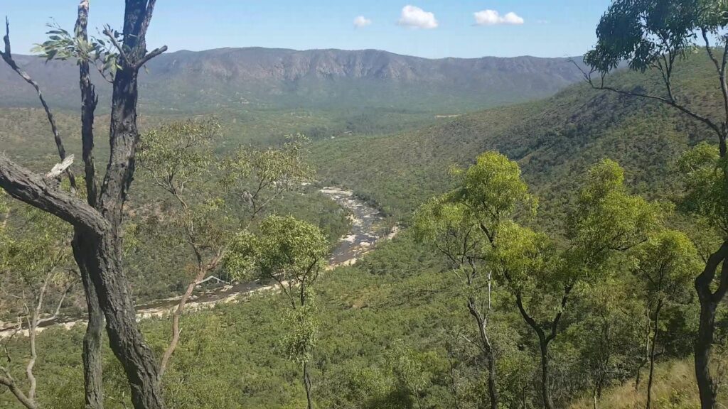
Services provided by Astrebla included the preparation of a ground-truthed RE map for 13, 900 ha of vegetation in the proposed Collinsville Irrigation Area, and threatened flora species surveys across the entire project area.
The Broken and Bowen River catchments contain populations of black ironbox (Eucalyptus raveretiana), a species listed as vulnerable under the EPBC Act but delisted in 2012 under the Queensland Nature Conservation Act. In association with GHD ecologists, Astrebla undertook population surveys of this species, and data gained from these surveys was an important input into an application to have black ironbox delisted as vulnerable under the EPBC Act. This application was submitted to the Department of Agriculture and Environment in early 2021 and will go up for public comment and review/decision in 2022.
Lakeland Irrigation Area Scheme – SMEC
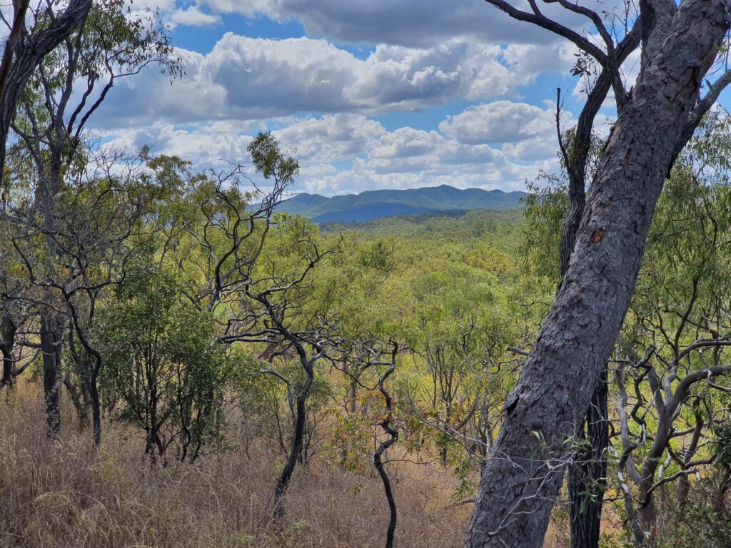
This project involves a proposed dam on the Palmer River, approximately 85 km south-west of Cooktown and 23 km south-west of Lakeland, in far north Queensland. The proposed dam wall is located approximately 16 km downstream of the Palmer River roadhouse (where the Mulligan Highway crosses the Palmer).
This project is being proposed by Regional Development Australia Tropical North (RDATN), with funding from the National Water Infrastructure Development Fund. It will increase the volume and reliablility of water available for agriculture in the Lakeland Irrigation Area, which was established over 70 years ago on the rich basalt soils of the Lakeland area. This water has the potential to significantly enhance the economic viability of this area without requiring further tree clearing.
Astrebla conducted botanical surveys in association with SMEC ecologists in the proposed inundation area and pipeline corridors across a number of survey events in 2020-21. This work included the preparation of a ground-truthed RE map for SMEC over 25, 000 ha in the vicinity of the proposed inundation area, and surveys for threatened flora species.
The wattle Acacia guymeri was found in relatively large numbers in this area – this species is listed as vulnerable in Queensland but was delisted some years ago under the EPBC Act. Population surveys were undertaken, and an impact assessment completed.
The Rookwood weir project (currently being constructed) is located on the Fitzroy River approximately 55 km west of Rockhampton. It is a $367 million water infrastructure project that will have a fully supply volume of 74, 300 ML, with an impoundment length of 60 km (including the Fitzroy, Mackenzie and Dawson Rivers).
Astrebla provided botanical input to the EIS and approvals technical manager, GHD, assisting with surveys required to meet EPBC Act and Queensland government approvals. These surveys included assessments against threatened ecological community (TEC) criteria, Biocondition surveys, population surveys for the vulnerable species black ironbox, and ground-truthing over 1660 ha of RE mapping (a ground-truthed RE map was produced at 1:10, 000 over the entire impoundment area).
Its been an eventful 2 years, and I will be posting more in the coming months about some of my other work, and the interesting species I have been finding.