There has been much controversy recently in relation to Queensland’s flora trigger maps, and the requirement to commission a survey by a suitably qualified person before clearing.
It has been alleged that this law will lock up country used for grazing and farming, and make it more difficult for landowners to manage their properties. Some of the criticism has also confused things such as PMAVs and category X mapping, which are an instrument under the Vegetation Management Act, with the flora trigger map survey requirements, which fall under the Nature Conservation Act. PMAVs and category X vegetation mapping have no relevance under the Nature Conservation Act.
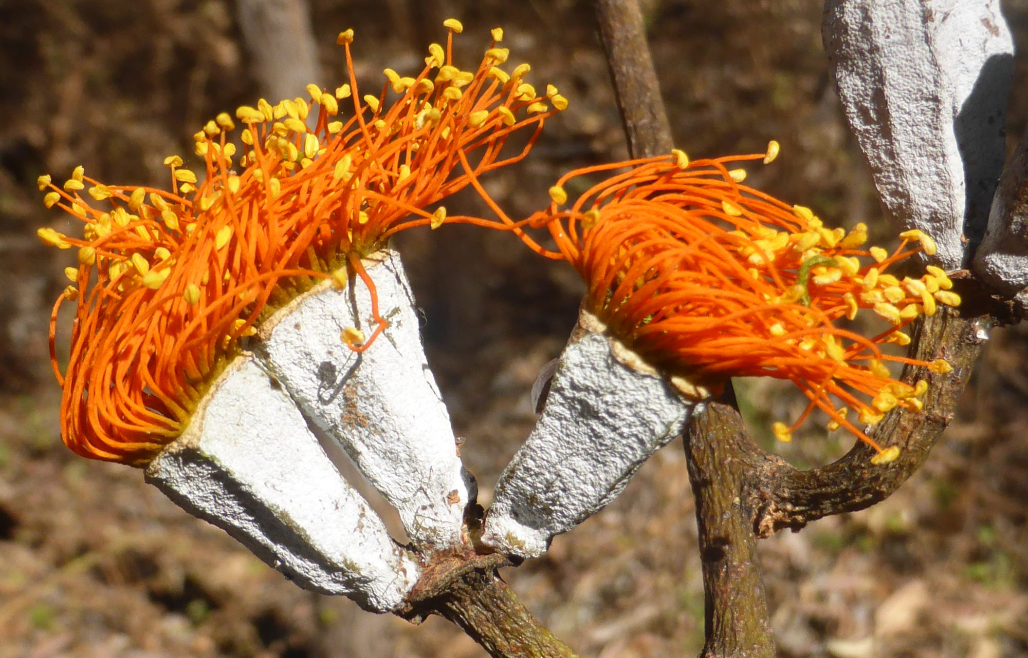
Flora trigger maps are aimed entirely at flora species listed as near threatened, vulnerable or endangered/critically endangered. Common flora species (labelled ‘least concern’ under the Nature Conservation Act) and plants not native to Australia are not controlled under the flora trigger map system.
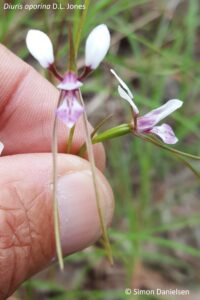
The flora trigger map system was put in place by the Newman government in 2014 to ensure that areas considered to be at ‘high risk’ for these protected species were surveyed before being cleared. It has been illegal to clear threatened plants in Queensland without a permit since 1992 at least – this law simply ensures that it is compulsory that areas considered to be likely to contain threatened plants are surveyed prior to clearing.
Exemptions
However, landowners should be aware that there are a number of exemptions that protect them and allow them to continue to undertake routine management activities in high risk areas without requiring a survey.
If the exemption covers your intended activity, you WILL NOT NEED a flora trigger map survey under the Flora Survey Guidelines – Protected Plants, even if the area is within a blue mapped area.
These exemptions are summarised at:
They are outlined fully in the Nature Conservation (Wildlife Management) Regulation 2006, chapter 4 part 3:
https://www.legislation.qld.gov.au/view/html/inforce/current/sl-2006-0205#ch.4-pt.3
These exemptions include (accurate at the time of writing on 8 September 2019 and NOT intended to constitute legal advice) taking (ie clearing/removing/killing) a protected plant for the following…
(words in bold are those that should be taken careful note of, as they add an essential element to the interpretation of the exemption)
For grazing (Section 261P)
If the plant is consumed by grazing stock, the exemption applies to:
-
- freehold land – if the grazing is authorised/permitted under law
- other land – if the grazing is authorised/permitted under a lease, permit, license or other authority or exemption.
Routine maintenance (section 261zc)
Routine maintenance includes slashing, mowing, pruning/trimming for:
-
- existing infrastructure (eg buildings/built structures, fences, pipelines, roads, stockyards, tracks, watering facilities, constructed drains)
- plantation management (if previously cleared legally)
- cropping (if previously cleared legally).
Firebreaks/fire management lines (section 261zd)
To establish or maintain a firebreak or fire management line, where:
-
- the firebreak is to protect infrastructure (other than a fence, road or track) and is no more than 1.5 times the height of the tallest adjacent vegetation, or 20 m (whichever is the greater).
- the fire management line is necessary and is no wider than 10 m.
Clearing under a self-assessable code (Section 261ZE)
If you are clearing under a self-assessable clearing code under the Vegetation Management Act 1999 section 19O (1) and (2) for:
-
- thinning
- managing weeds
- managing encroachment.
To avoid or reduce the risk of serious damage (Section 261B)
To avoid or reduce the risk of serious damage to buildings or property (eg structures or personal property) where:
-
- it is necessary and reasonable to take the plant to avoid or reduce the imminent risk of serious damage, AND
- If the damage is not prevented or controlled, a person may suffer significant economic loss, AND
- the taking cannot reasonably be avoided or minimised.
By fire under the Fire & Emergency Services Act (S.261C)
If the clearing is done under the Fire and Emergency Services Act 1990, where:
-
- it is part of a reasonable action by an authorised fire officer as defined under that Act, OR
- the person takes the plant by lighting a fire that is authorised under a notification or permit issued under the Fire and Emergency Services Act 1990, and that fire is necessary for hazard reduction.
There is also an exemption for taking protected plants for fodder (section 261U), but it does not apply to endangered or vulnerable plants.
NOTE – THE ABOVE IS OFFERED FOR GENERAL INFORMATION ONLY AND DOES NOT CONSTITUTE LEGAL ADVICE.
ALWAYS CONSULT THE RELEVANT ACT AND/OR A GOVERNMENT OFFICER AND/OR YOUR LEGAL ADVISOR PRIOR TO CLEARING.
Clearing that does not meet the exemptions
If your clearing does not meet any of the exemptions (see the Nature Conservation (Wildlife Management) Regulation 2006 for the full list), you should obtain a flora trigger map for the intended clearing area from:
https://www.ehp.qld.gov.au/licences-permits/plants-animals/protected-plants/map-request.php
Under section 261z, if your clearing area is NOT mapped as a high risk area, you can clear without a survey provided:
-
- you are not aware of the presence of any threatened plants in the area to be cleared,
- you clear within 12 months of the date of receiving the flora trigger map,
- you keep the flora trigger map in your records for at least 5 years from the date the clearing starts.
Of course, you must also satisfy yourself that the clearing is legal under other applicable laws, in particular the Vegetation Management Act.
If your clearing area IS within a mapped as a high risk area (and doesn’t meet an exemption), you will be required to commission a flora survey by a suitably qualified person.
If that survey finds that threatened plants are NOT present, you simply submit the survey report to the government at least one week prior to the clearing commencement date, and no later than 12 months after the flora survey was completed.
If threatened plants are present, it may be possible to plan the clearing such that it can be demonstrated those plants will not be impacted. Alternatively, an offset may be acceptable.
Engaging a ‘suitably qualified person’
If your clearing area is within a mapped high risk area AND doesn’t fall under an exemption, you must commission a survey by a suitably qualified person.
You should always ask this person to prove they are suitably qualified prior to engaging them – a suitably qualified person must meet the requirements outlined in section 4 of the Flora Survey Guidelines, available at:
https://www.qld.gov.au/__data/assets/pdf_file/0028/99901/gl-wl-pp-flora-survey.pdf
Ideally, this person will be able to produce a pre-approval letter from the Chief Executive of the Department of Environment and Science agreeing that they are a suitably qualified person. In addition, they should have completed similar flora trigger map surveys previously.
 I have pre-approval as a suitably qualified person under the Flora Survey Guidelines and have conducted over 30 flora trigger map surveys since 2015. If you wish to discuss your flora trigger map survey requirements, please don’t hesitate to contact me on:
Email: simon@astrebla.com or
Phone: 0423 706 440
Or use the Contact page on this website.